Oyem Permit, Gabon, Central Africa
Project Background
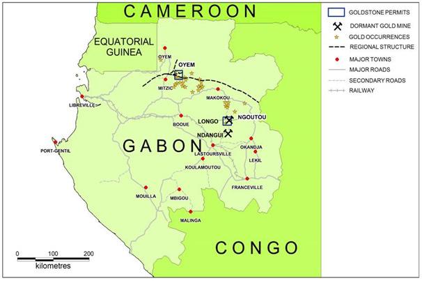
Permit and Location
The Oyem permit in northern Gabon is 516 km2 in size and can be reached from the local capital Mitzic via tarred and gravel roads (Figure B1). The permit was granted to GoldStone’s 100% owned Gabonese subsidiary GoldStone Resources Limited Gabon S.A.R.L. in April 2011 for a period of three years and can be renewed twice for a period of three years.
Regional Prospectivity
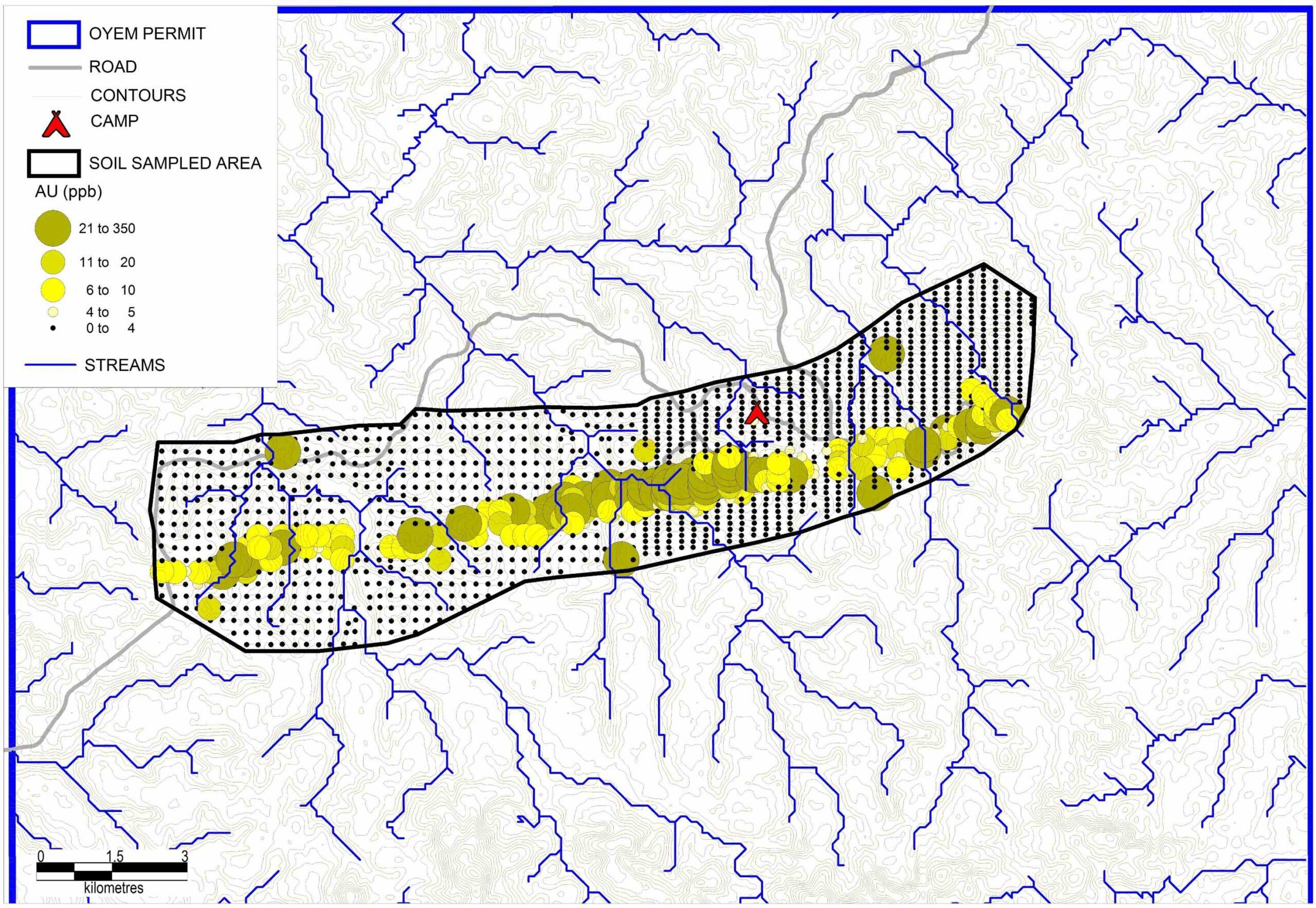
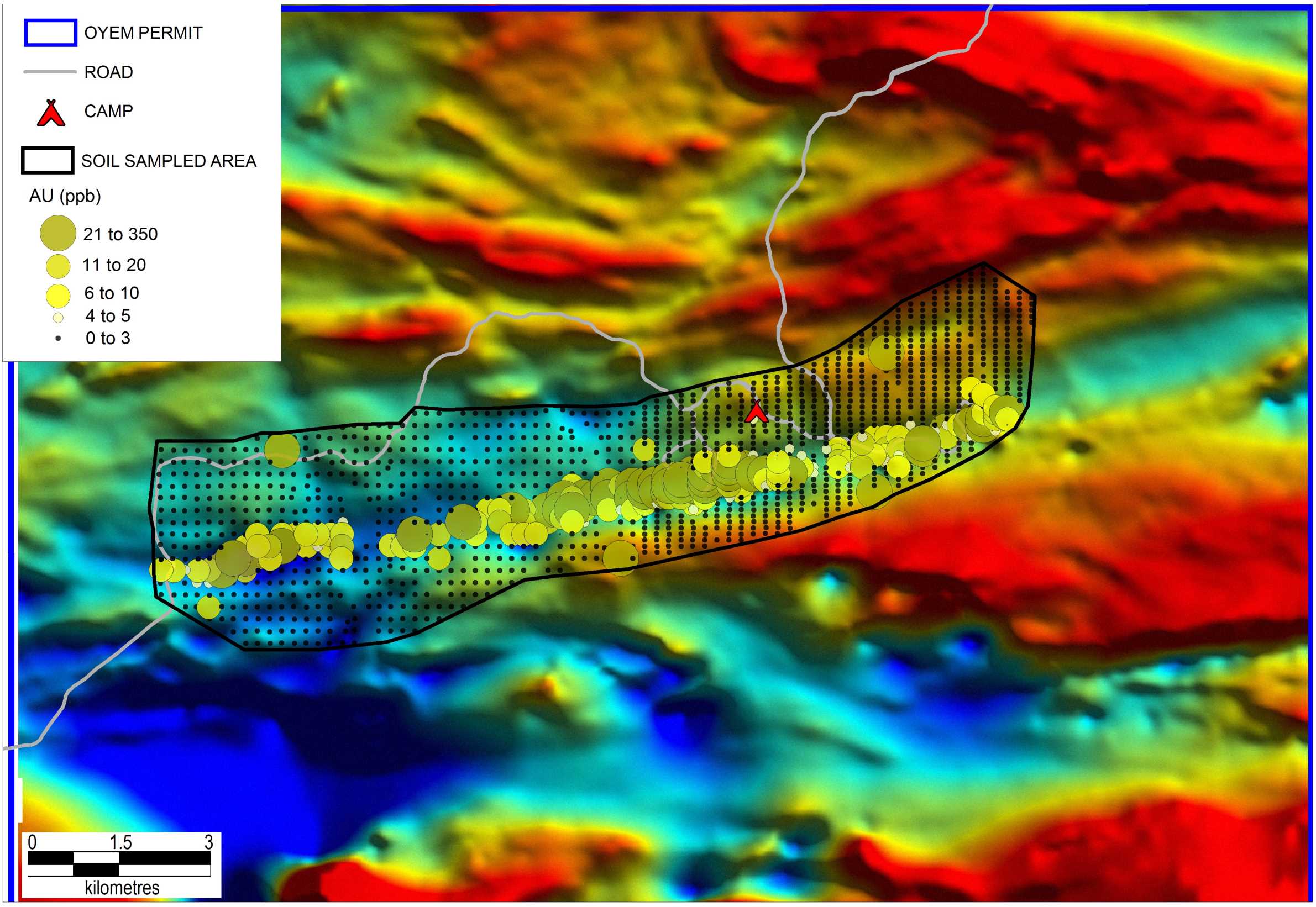
The Oyem permit contains a 15 km long, robust and east-west trending gold in soil anomaly (Figure B2). This anomaly was detected together with several other anomalies during the period from 2005 to 2009 when 14 million euros of European Union funding was applied by the French, South African and Gabonese Geological Surveys to outline the mineral prospectivity of Gabon. The Oyem permit was “cherry picked” for application when GoldStone’s geologists reviewed the quality of the soil anomalies resulting from the country-wide survey. The Oyem soil anomaly coincides with a splay (Figure B3) off a well-known regional geological structure and covers gold-prospective Archean rocks. The clear spatial association of a 15 km long, robust gold in soil anomaly with an underlying shear-zone in an Archean terrain generally prospective for gold makes this permit a top priority for GoldStone’s exploration programme. It is further very encouraging that the streams which drain the gold anomaly are targeted by artisanal gold miners.
GoldStone’s Exploration Approach
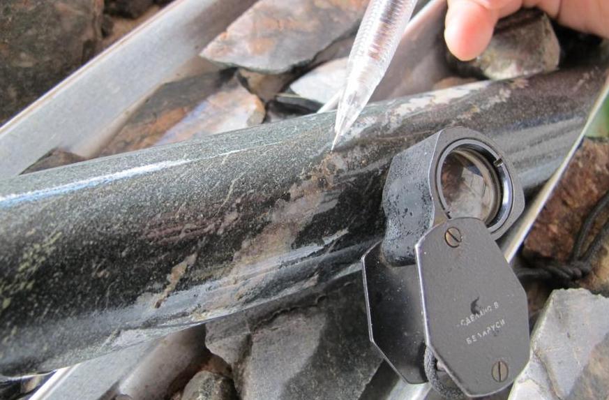
Pitting and mapping demonstrated that the weathering and clay in the area is too deep for trenching or cheaper, shallow drilling techniques to be a viable exploration tool. A detailed confirmatory and infill soil sampling programme on a 200m by 25m grid, using the MMI and BLEG methods, over the central portion of the 15 km long initial soil anomaly was therefore directly followed up diamond drilling programme.